Laser mapping data to boost wine industry by pinpointing prime grape growing areas
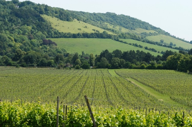
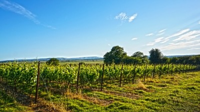
Growers can make use of 3D LIDAR (Light Detection and Ranging) maps to understand variations in slope and aspect, pinpointing the best locations for vines to thrive in.
It is estimated that an additional 75,000 acres of land in England is prime for grape growing and could be used by wine producers (this is roughly the same size as the Champagne region in France).
The Department for Environment, Food and Rural Affairs (DEFRA), a government body, says that the laser mapping data has the potential to revolutionise the English wine industry.
Identifying good land
The Environment Agency has been producing and using the laser surveys to map and scan the English landscape over the last 17 years, primarily to plan flood defences and analyse land use. The archive of data contains 11 terabytes of information (the equivalent of more than 2 million MP3 songs)
The data has been released under the #OpenDefra project, which is making information available for commercial industries and the public to use for free.
“The potential for this data is huge and we are just beginning to realise its potential,” a spokesperson for DEFRA told BeverageDaily.com
“LIDAR can be used in a number of different ways, and when combined with other data such as soil and climate data, can help wine growers choose the best land.”
Examples of this could be measuring the height of the land (for example, to find an optimum 60m above sea level).
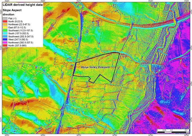
Measuring the slop and contours of the land can give an insight into ‘frost hollows’ and badly-drained areas.
LIDAR can show the degree of light and shadows covering the land. By combining the technology with weather data (such as sunrise and sunset, cloud cover and historic weather patterns), it is possible to accurately predict the degree of light across a landscape to help with precision farming of crops.
Growing the industry
England and Wales have around 500 vinyards covering 4,500 acres. Vineyard area has increased by more than 140% over the last 10 years.
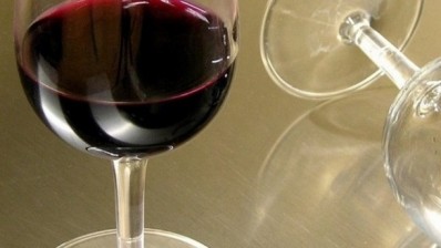
English wine production has doubled in the last five years, with an estimated retail value of £82m.
Environment secretary Elizabeth Truss said that by opening up the vaults of data, the industry is getting the tools it needs to grow. She wants English wine producers to have more knowledge, so they can identify the best conditions.
LIDAR data covers around 72% of England. It is commonly used by archaeologists to map and visualise ancient landscapes such as Bronze Age burial mounds and Roman Roads.
Computer gamers are also drawing on the data to build virtual worlds, while walkers can use it for maps.